

For example, geologic maps of the Moon made in the early 1960s at the in Flagstaff, Arizona, helped Apollo mission planners select safe and scientifically promising sites for the six crewed landings that occurred from 1969 to 1972. Before stepping onto the lunar surface, NASA’s Moon-bound astronauts traveled to Flagstaff to practice fieldwork with USGS geologists. A version of those Apollo boot camps continues today with astronauts and scientists involved in NASA’s Artemis mission.
Rainbows and Rocks
To detect minerals and other compounds on the surfaces of rocky bodies across the solar system, including Earth, scientists use a technology pioneered by JPL in the 1980s called imaging spectroscopy. One of the original imaging spectrometers built by Robert Green and his team is central to the GEMx campaign in the Western U.S.
About the size and weight of a minifridge and built to fly on planes, the instrument is called AVIRIS-Classic, short for . Like all imaging spectrometers, it takes advantage of the fact that every molecule reflects and absorbs light in a unique pattern, like a fingerprint. Spectrometers detect these molecular fingerprints in the light bouncing off or emitted from a sample or a surface.
👇👇👇👇 [Google Ads]
In the case of GEMx, that’s sunlight shimmering off different kinds of rocks.
Compared to a standard digital camera, which “sees” three color channels (red, green, and blue), imaging spectrometers can see more than 200 channels, including infrared wavelengths of light that are invisible to the human eye.
NASA spectrometers have orbited or flown by every major rocky body in our solar system. They’ve helped scientists investigate on Titan, Saturn’s largest moon, and study Pluto’s thin atmosphere. One JPL-built spectrometer is currently , an icy moon of Jupiter, to help search for chemical ingredients necessary to support life.
👇👇👇👇 [Google Ads]
“One of the cool things about NASA is that we develop technology to look out at the solar system and beyond, but we also turn around and look back down,” said Ben Phillips, a longtime NASA program manager who led GEMx until he retired in 2025.
The Newest Instrument
More than 200 hours of GEMx flights are scheduled through fall 2025. Scientists will process and validate the data, with the first USGS mineral maps to follow. During these flights, an from NASA’s Armstrong Flight Research Center in Edwards, California, will cruise over the Western U.S. at altitudes twice as high as a passenger jet flies.
At such high altitudes, pilot Dean Neeley must wear a spacesuit similar to those used by astronauts. He flies solo in the cramped cockpit but will be accompanied by state-of-the-art NASA instruments. In the belly of the plane rides AVIRIS-Classic, which will be retiring soon after more than three decades in service. Carefully packed in the plane’s nose is its successor: AVIRIS-5, taking flight for the first time in 2025.
👇👇👇👇 [Google Ads]
Together, the two instruments provide 10 times the performance of the older spectrometer alone, but even by itself AVIRIS-5 marks a leap forward. It can sample areas ranging from about 30 feet (10 meters) to less than a foot (30 centimeters).
“The newest generation of AVIRIS will more than live up to the original,” Green said.
More About GEMx
The GEMx research project will last four years and is funded by the USGS Earth Mapping Resources Initiative. The initiative will capitalize on both the technology developed by NASA for spectroscopic imaging, as well as the agency’s expertise in analyzing the datasets and extracting critical mineral information from them.
👇👇👇👇 [Google Ads]
Data collected by GEMx is available .
Feed By Today and Features – NASA's Jet Propulsion Laboratory
👇👇👇👇 [Google Ads]
You Might Also Like

NASA Mission Concludes After Years of Successful Asteroid Detections

2 Ford Mustangs totaling nearly $200K stolen from Upson County dealership – BlogsTour Today
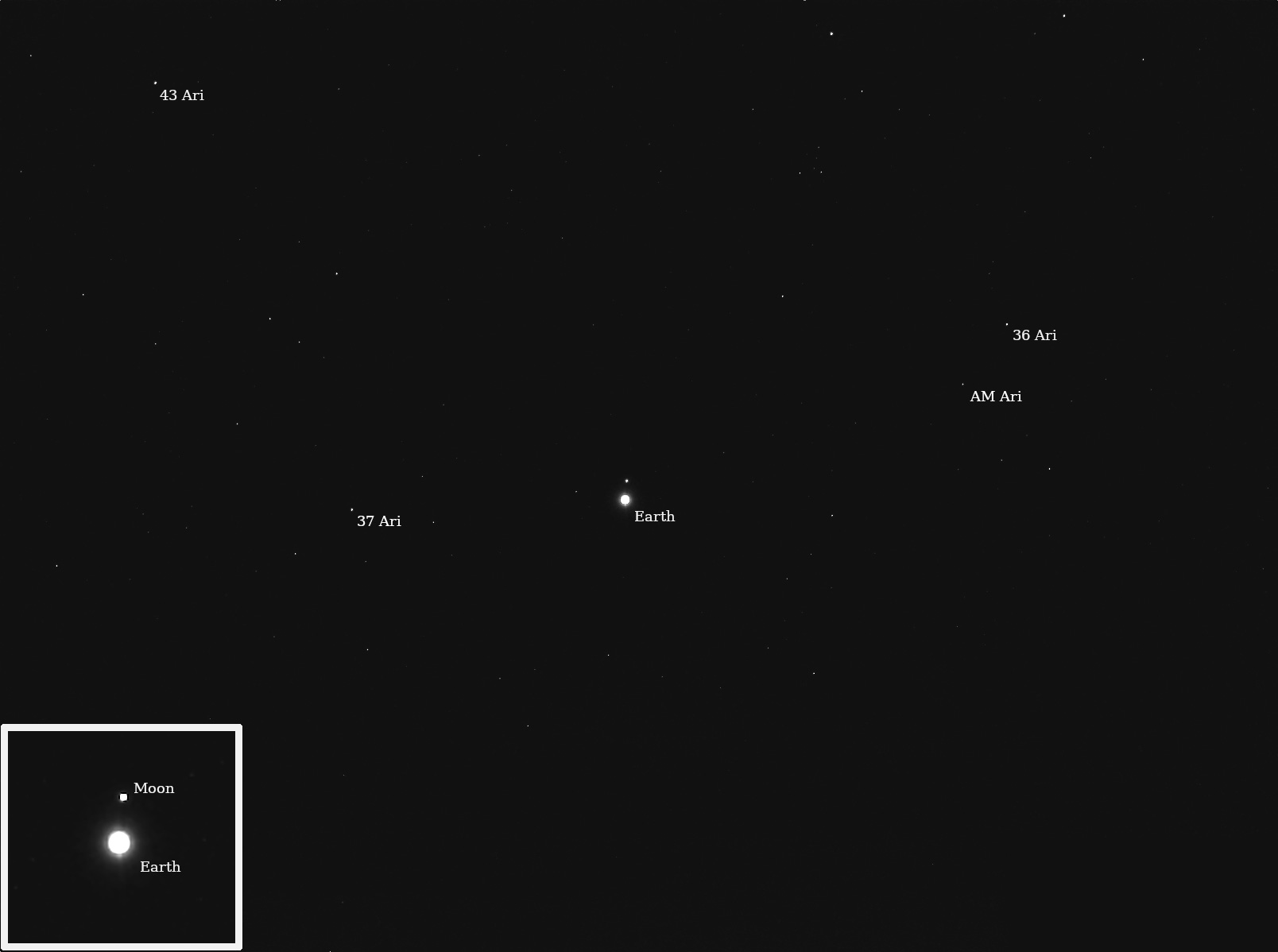
NASA’s Psyche Captures Images of Earth, Moon

Live updates: Israel-Hamas war, Iran attack fears, Gaza Eid celebrations ruined
