

To understand how land in a given area is moving, OPERA algorithms automate steps in an otherwise painstaking process. Without OPERA, a researcher would first download hundreds or thousands of data files, each representing a pass of the radar over the point of interest, then make sure the data aligned geographically over time and had precise coordinates.
Then they would use a computationally intensive technique called to gauge how much the land moved, if at all, and in which direction — towards the satellite, which would indicate the land rose, or away from the satellite, which would mean it sank.
“The OPERA project has helped bring that capability to the masses, making it more accessible to state and federal agencies, and also users wondering, ‘What’s going on around my house?’” said Franz Meyer, chief scientist of the Alaska Satellite Facility, a part of the University of Alaska Fairbanks Geophysical Institute.
👇👇👇👇 [Google Ads]
Monitoring Groundwater
Sinking land is a top priority to the Arizona Department of Water Resources. From the 1950s through the 1980s, it was the main form of ground movement officials saw, as groundwater pumping increased alongside growth in the state’s population and agricultural industry. In 1980, the state enacted the Groundwater Management Act, which reduced its reliance on groundwater in highly populated areas and included requirements to monitor its use.
The department began to measure this sinking, called subsidence, with radar data from various satellites in the early 2000s, using a combination of SAR, GPS-based monitoring, and traditional surveying to inform groundwater-management decisions.
Now, the OPERA dataset and portal will help the agency share subsidence information with officials and community members, said Brian Conway, the department’s principal hydrogeologist and supervisor of its geophysics unit. They won’t replace the SAR analysis he performs, but they will offer points of comparison for his calculations. Because the dataset and portal will cover the entire state, they also could identify areas not yet known to be subsiding.
👇👇👇👇 [Google Ads]
“It’s a great tool to say, ‘Let’s look at those areas more intensely with our own SAR processing,’” Conway said.
The displacement product is part of a series of data products . The project began in 2020 with a multidisciplinary team of scientists at JPL working to address satellite data needs across different federal agencies. Through the , those agencies submitted their requests, and the OPERA team worked to improve access to information to aid a range of efforts such as disaster response, deforestation tracking, and wildfire monitoring.
Feed By Today and Features – NASA's Jet Propulsion Laboratory
👇👇👇👇 [Google Ads]
Views: 925
You Might Also Like

Brian Daboll provides injury updates & discusses preparing for the challenging environment of playing in New Orleans
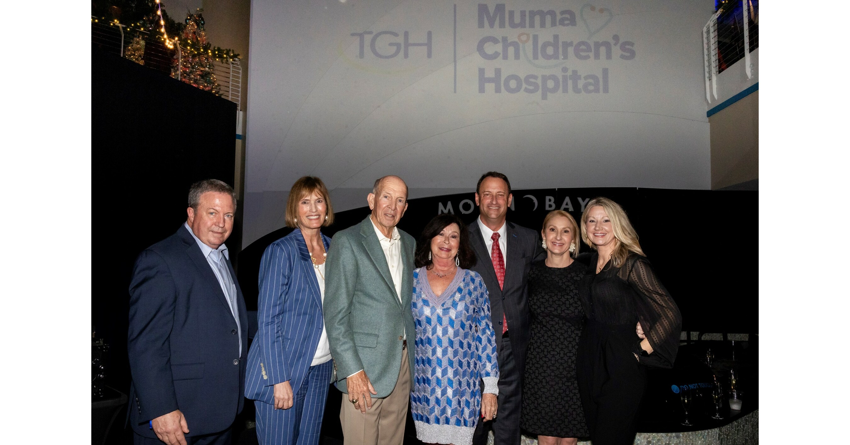
Tampa General Hospital Reveals the “Muma Children’s Hospital at TGH,” Celebrating a Historic Charitable Contribution to Support Tampa General’s Pediatric Health Services
Hello world!

